


Product Performance

spectral curve

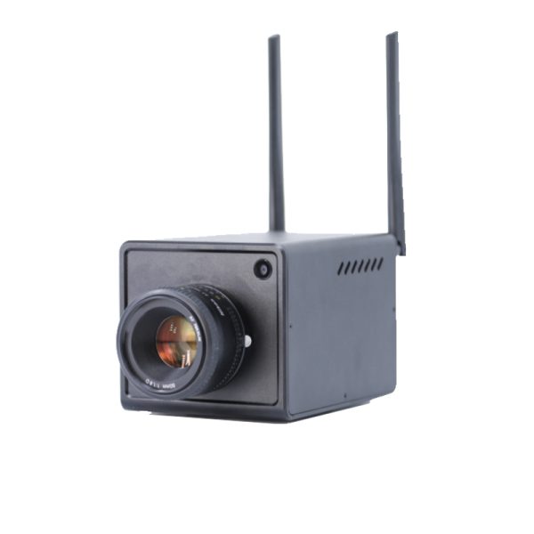
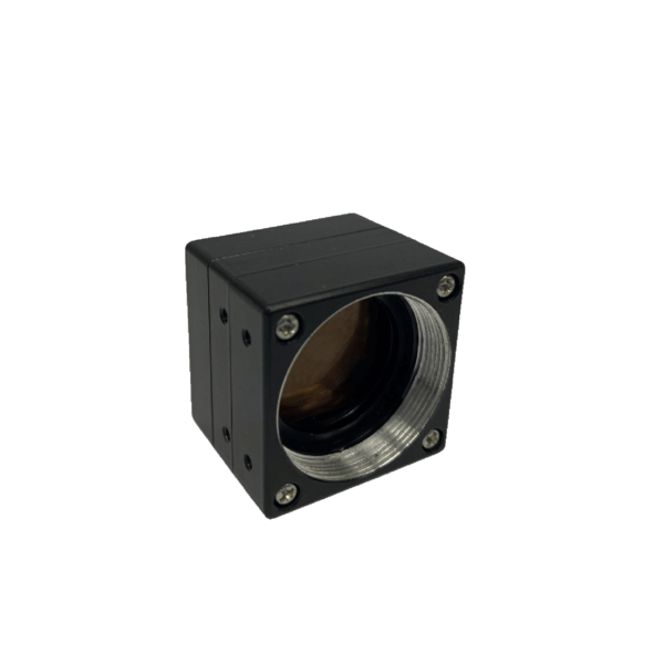
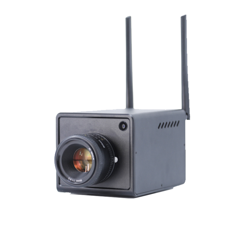
ECO Spectral Imaging Index Analyzer
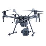
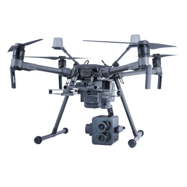
It can realize real-time monitoring of water pollution monitoring, suspected pollution source investigation, ecological disaster monitoring of waters, shoreline environment investigation, black stinking water body management and other applications. And it can obtain the real-time distribution results of more than 20 kinds of water body indicators such as total nitrogen, total phosphorus, chlorophyll a, suspended solids, potassium permanganate index, algae distribution and eutrophication index, which can truly realize the real-time and efficient online analysis and monitoring of the water environment.

Drone Spectral Imaging Index Analyzer monitors river factory outfalls Drone Spectral Imaging Index Analyzer monitors river water quality conditions

UAV Spectral Imaging Index Analyzer Judges River and Lake Water Quality Levels

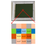
Distribution of eutrophic state in Liangxi River as determined by UAV spectral imaging index analyzer

UAV hyperspectral combined with auxiliary camera shot of the river surroundings to identify suspected sources of river pollution
")
UAV Spectral Imaging Index Analyzer Judges Lake Water Quality Conditions
Spectral Imaging Index Analyzer for Fine Agriculture
It can realize real-time monitoring of planting condition assessment, crop growth monitoring, crop collapse analysis, variable plant protection spraying, crop yield estimation and other applications. At the same time, the real-time online distribution of crop growth, collapse and yield in the target area can be obtained, and "one map" can be used to send first-hand information reference for field production, thus realizing the intelligent management of agriculture in the true sense.

Monitoring of crop growth and yield
")
")
Classification of crop disease levels Monitoring of crop growth and yield

Detection of soil water content, soil organic matter content and distribution
")
Monitoring of crop growth
Fine Forestry Spectral Imaging Index Analyzer
It can realize the real-time monitoring of forest physical and chemical parameters, forest structural parameters, forest water and fertilizer stress, forest diseases and pests, grass yield, grass coverage, grass disaster, grass degradation, grass nutrition and other applications. At the same time, we can obtain the real-time online distribution of forest and grass growth, physical and chemical parameters, yield, etc. in the target area, and use "one map" to send the first-hand information reference for the customers, so as to realize the intelligent management of forest and grass in the real sense.
")
Spectral index analysis of forest trees

Analysis of forest leaf area index and location of infected trees (in red)

Analyze crown size and tree species
Tobacco Spectral Imaging Index Analyzer
China is a large tobacco growing country, tobacco in the country's provinces are planted, its area and production currently ranked first in the world, the tax burden income in our country's total tax revenue occupies a pivotal position, for China's economic development has made considerable contributions. And China's total output of tobacco in the roasted tobacco accounted for more than 80%, is the production of cigarettes the most important raw materials. For a long time, China has adopted time-consuming, labor-intensive and high-cost traditional methods in observing and monitoring the growth and quality of tobacco in the tobacco fields. UAV spectral imaging technology is an efficient means of tobacco planting management, which can quickly and accurately provide decision makers with a wide range of tobacco growth conditions in the field, providing effective data for decision makers to apply fertilizer, irrigation, pesticide spraying, which is conducive to significantly improve the level of pesticide modernization, and promote the sustainable development of modern agriculture. Therefore, UAV spectral imaging technology has greater application value in tobacco field monitoring, and is a new trend in tobacco field management.
")
Inverse map of total nitrogen and nicotine in tobacco chemical composition in South Shibanqiao Tobacco Base
Application Areas
Industry application areas (including but not limited to the following):
(1) Ecological and environmental protection: water pollution monitoring, investigation of suspected pollution sources, monitoring of ecological disasters in watersheds, shoreline environmental surveys, and management of black-smelling water bodies;
(2) Precision agriculture: assessment of planting conditions, monitoring of crop growth, analysis of crop failures, variable plant protection spraying, crop yield estimation, soil heavy metal detection, soil fertility assessment, etc;
(3) Precision forestry and grassland: forest physical and chemical parameters, forest water and fertilizer stress, forest diseases and pests, forest classification, grassland cover, grassland disasters, grassland degradation, etc;
(4) Target identification: pine nematode foreign wood identification, poppy discrimination, camouflage discrimination, etc;
(5) Smart cities: housing violations, urban vegetation coverage, urban power grid probes, water resource management, etc;
(6) Resource exploration: petroleum surveys, non-ferrous metal prospecting, rock and ore exploration, etc.
Document Download
You must be logged in to post a review.
Reviews
Clear filtersThere are no reviews yet.